Natural areas
More than three hundred natural sites and nature reserves
Natural areas
More than three hundred natural sites and nature reserves
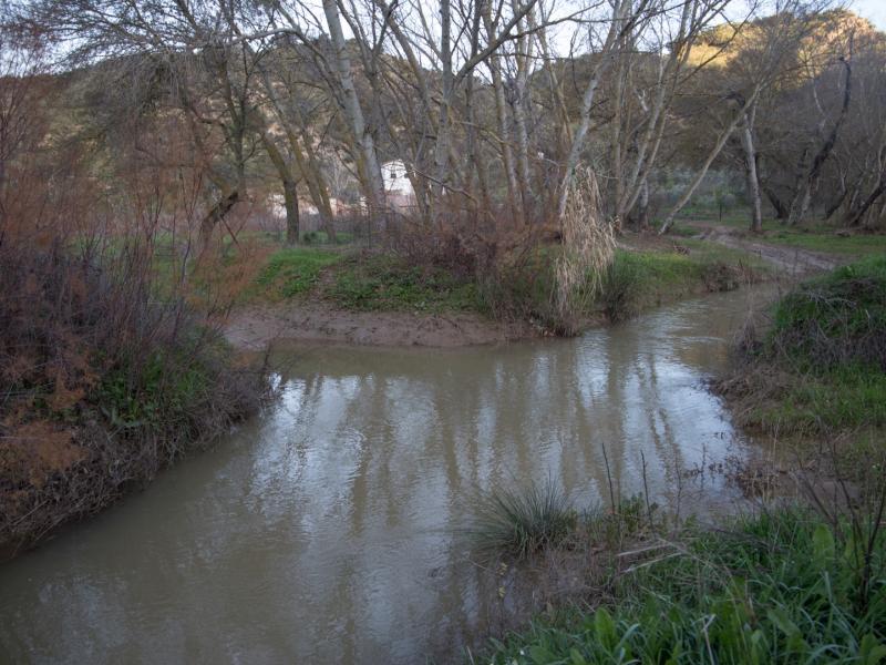
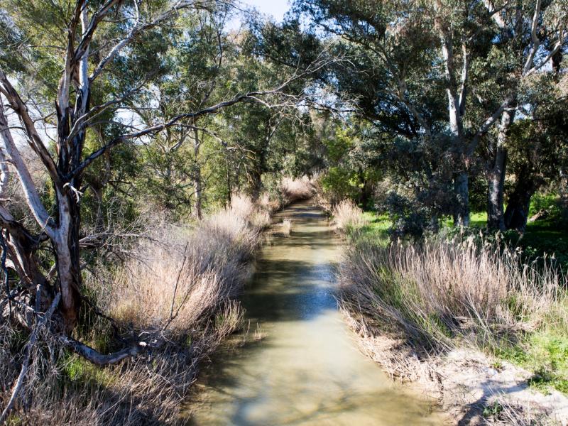
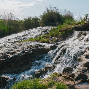
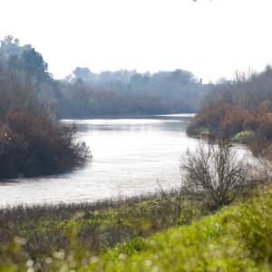
The River Corbones is a tributary on the left bank of the River Guadalquivir. It rises in the Blanquilla, Mollina and Los Borbollones mountain ranges in the provinces of Cadiz and Malaga. The river runs for 177 km, almost entirely within the province of Seville, passing through the municipalities of Algámitas, Villanueva de San Juan, El Saucejo, La Puebla de Cazalla, Osuna, Lantejuela, Marchena, Fuentes de Andalucía and Carmona until it meets the River Guadalquivir at Alcolea del Río.
In the late 1980s, the Guadalquivir River Authority built a reservoir on the River Corbones at La Puebla de Cazalla.
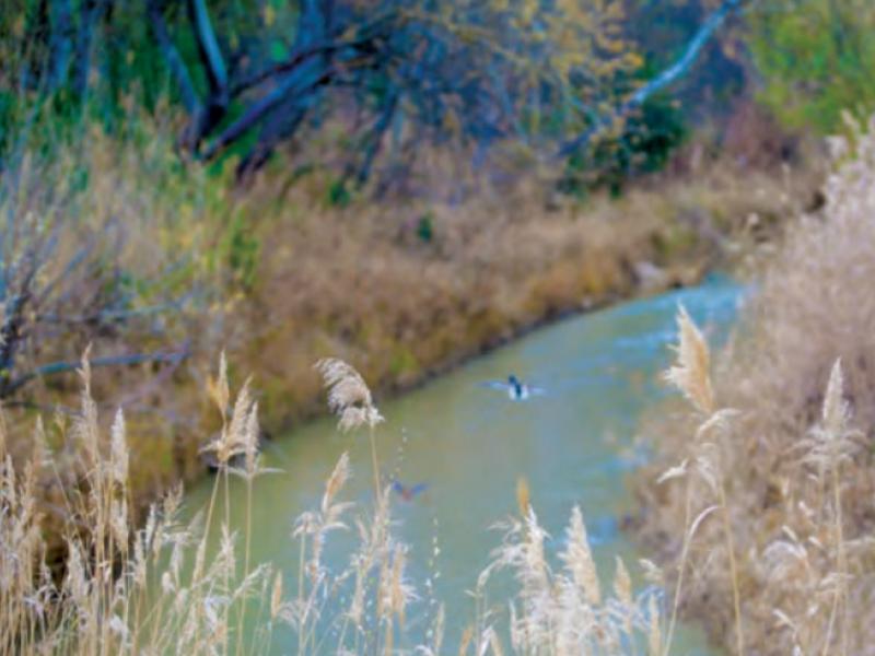
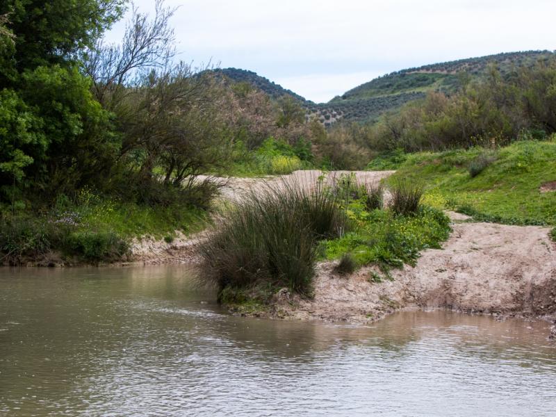
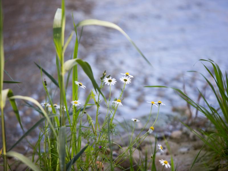
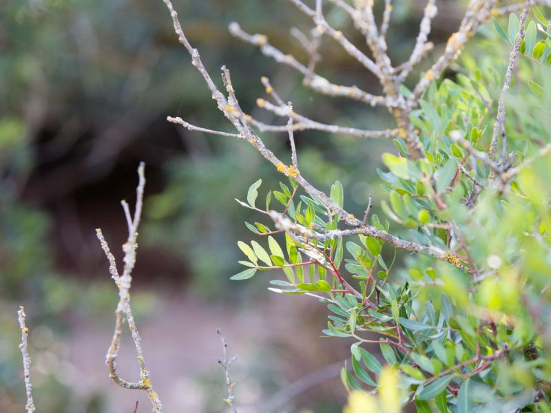
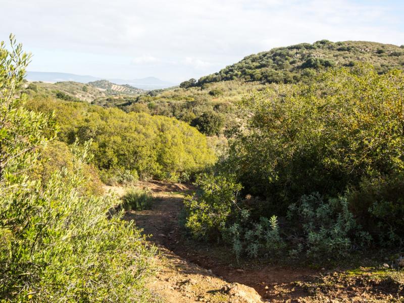
This river is the primary watercourse in the municipality of Algámitas, a tributary on the left bank of the Guadalquivir. It is fed by the Mujeres Stream, which marks the boundary with Pruna, and the Membrillar Stream, to the north of the town. Riparian vegetation breaks the monotony of the cultivated landscape of Algámitas. It consists mainly of oleander, tamarisk, bramble and a few white poplars. As for the fauna, highlights include a variety of amphibians such as the common frog, common toad and natterjack toad, and the Mediterranean and European tree frogs, as well as several passerine bird species such as Eurasian weed warblers, melodious warblers and greater whitethroat.
Access is free via the SE-9223 road towards El Saucejo, and then continue along the A-406 to the River Corbones.
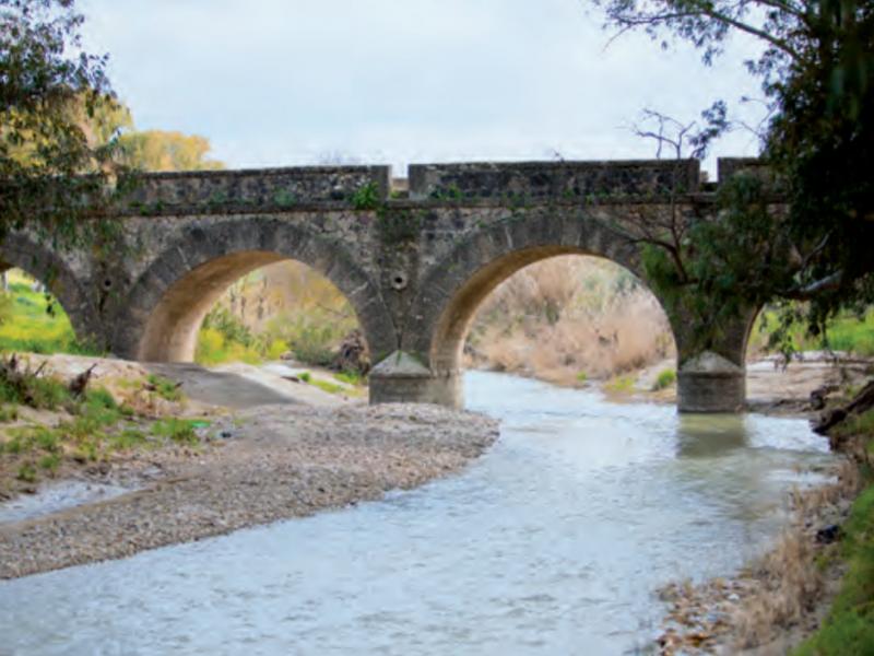
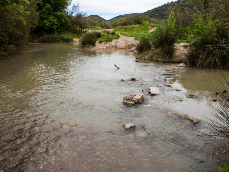
The municipality of Villanueva de San Juan is located in the upper section of the River Corbones, divided into two areas: one to the north, in El Pinalejo, which runs through forest areas and better-preserved natural vegetation, and another to the south, more level and in an agricultural environment. The area near the Seis Ojos Bridge, close to the town, is used by locals as a recreational area. The annual pilgrimage takes place here on the last Sunday in April.
Access is free via the A-406 road, two kilometres towards El Saucejo.
Facilities: Picnic area with benches and tables at the Seis Ojos Bridge area.
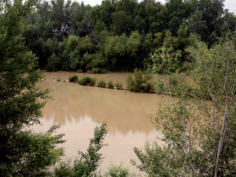
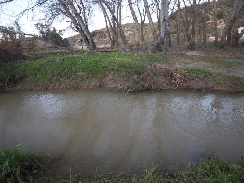
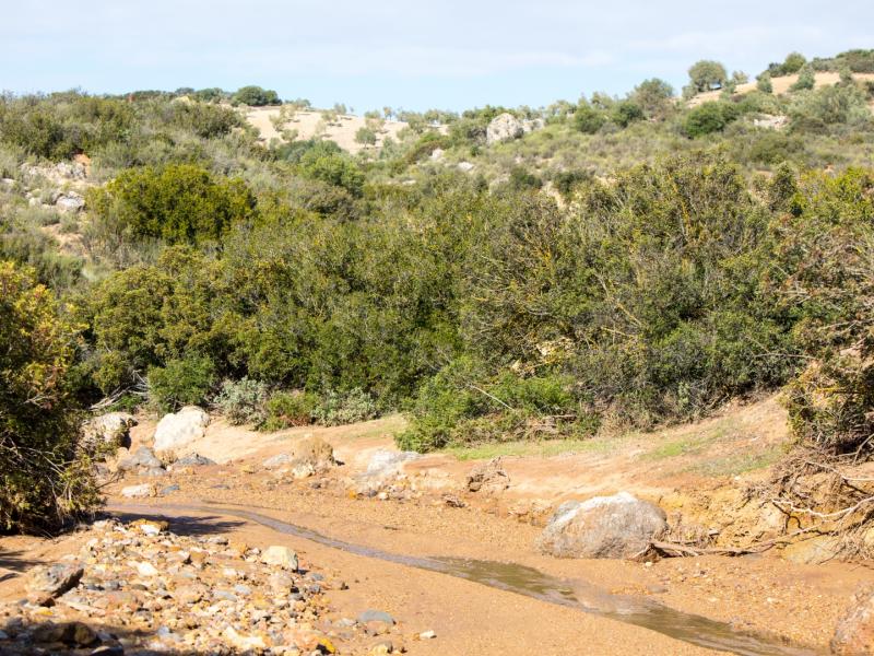
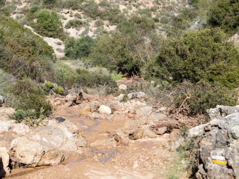
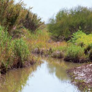
El Saucejo is also located in the upper section of the river in a very rugged area. The strong torrential flow, steep slopes and scarce riparian vegetation mean that the erosive power of the river is at its strongest here. Although riparian vegetation is limited to some patches of reeds, bulrushes and tamarisk, the river does flow through forest and crop areas within the municipality.
The banks of the River Corbones has been a traditional recreational spot for the inhabitants of El Saucejo. They celebrate their San José Obrero pilgrimage by the river in May at the so-called Yeso Ford.
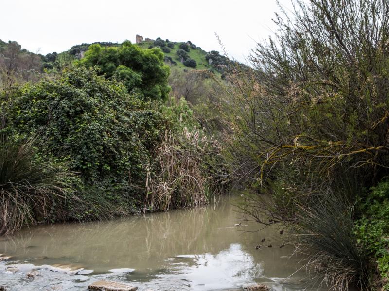
Iberian-Roman site of Los Baldíos is located on the banks of the River Corbones, in the southwest of the municipality of El Saucejo. Several bronze objects discovered here in 1981 are believed to have been part of the so-called Lex Irnitana. Six of the 10 tablets that comprise the “Lex municipii Flavii Irnitanii”, five complete and one fragment, were found here. Another remarkable finding was the Senatus consultum by Gnaeus Calpurnius Piso (father). This relevant political-ideological document, also engraved in bronze tablets, contains, among others, the texts of the Roman Senate’s resolution against Gnaeus Calpurnius Piso after his trial for the murder of Germanicus. Both findings are in Seville’s Archaeological Museum.
The easiest way to access the site is via the A-406 road towards Algámitas, which crosses the river. The best way to reach the area further to the north of higher environmental value is via the Osuna path from the town of Villanueva de San Juan.
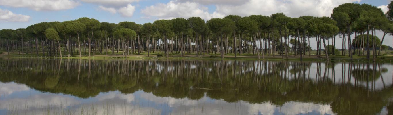
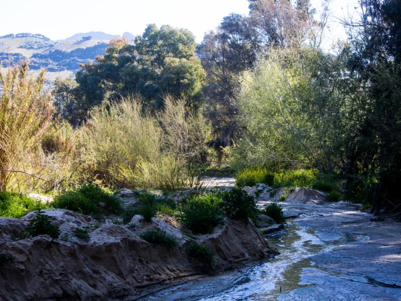
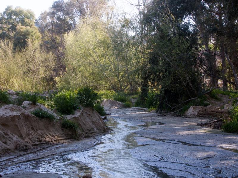
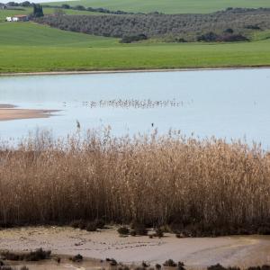
The River Corbones is the main watercourse of La Puebla de Cazalla. It crosses the entire municipality longitudinally from the southwest, where the La Puebla de Cazalla Reservoir is located, to the north, where it heads towards Marchena. The Corbones can be divided into two distinct sections at La Puebla de Cazalla: one from the Reservoir to Castillo de Luna and the other from the Castle to the urban centre, located in the Vega Baja, closer to the mouth of the River Guadalquivir. In the first section, the terrain is steep, and the river runs through a deep valley, surrounded by hills like that of the Castillo de Luna. It is here that it receives the waters of its tributary streams. The tributaries that feed into the Corbones are River de la Peña and the Aguilar and Morales streams, on the left bank, and the Niño Perdido, Barca and Infierno streams, on the right bank. This section of the Corbones has dense riparian vegetation that lines both banks of the river. There are also sections with Mediterranean shrubs and other with bushes and pinewoods near the Reservoir. Interspersed between the forest areas are arable croplands and olive groves.
In the second section, between the Castle and the town centre, the Corbones crosses through the fairly level countryside and fertile lands very suitable for agriculture. The natural vegetation is less relevant here, although there are patches of riparian vegetation of great interest, as they serve as an ecological corridor for the fauna and a buffer zone against erosion.
The entire course of the Corbones through La Puebla de Cazalla has been declared an SCI/SCA, owing to the presence of the due to the presence of the Iberian roach (Squalius alburnoides), a cyprinid endemic to the Iberian Peninsula listed in Annex II of the Habitat Directive.
Access is free. The River Corbones may be accessed from La Puebla de Cazalla from various points along the SE-8205 road towards Pruna. About two kilometres down this road turn left onto the road leading to the quarry that crosses the river. Another access can be found shortly before kilometre 9. Take a dirt road on the right before crossing the river. To access the Reservoir, take the SE-452 road that ends in the Reservoir.
Facilities: Green Path that runs parallel to the riverbank next to the Corbones Park and connects with the Cañete drovers’ trail.
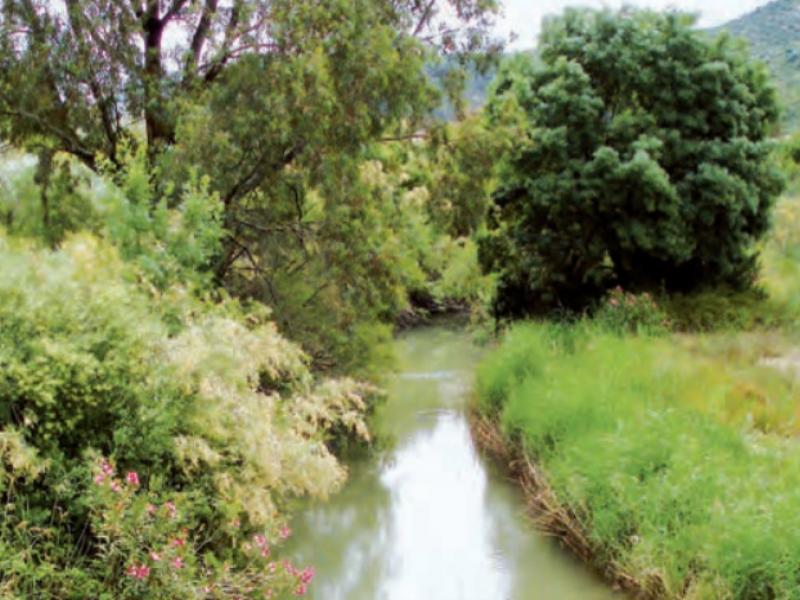
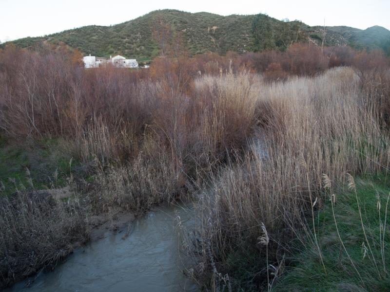
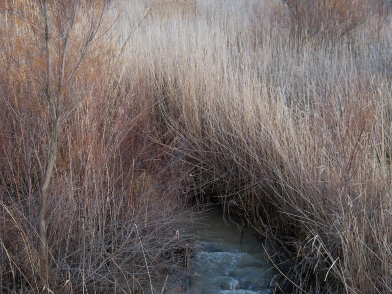
The River Corbones is the primary watercourse in the municipality of Marchena. This tributary on the left bank of the Guadalquivir runs south to north from La Puebla de Cazalla through the central area of the district. The flow rate depends on surface runoff, as well as inflow from underground aquifers. Part of the surface runoff flows into the Salado del Término and Galapagar streams, which, in turn, drain into the Corbones. As it passes through Marchena, the medium-low section of the river meanders through an alluvial plain with terraces and some cut-offs. It crosses through the Campiña’s agricultural lands, where the river and the vegetation line take on great significance. This is where the best-preserved vegetation along the Corbones can be found in the entire municipality. From north to south, these areas are El Grullo, Vado Viejo, Vico, Montemolín, Cortijo del Río, Haza del Conde and Vega de la Canasta, with patches of gallery forest populated by ashes, white poplars, willows and a few groves, as well as bush species that, in some cases, create dense thickets.
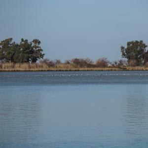
The River Corbones is home to varied birdlife, correlated with riparian vegetation and croplands, which use the riverine forest as a shelter.
urthermore, the presence of the Iberian roach, a small cyprinid endemic to the Iberian Peninsula, should be noted. The section between El Saucejo and Marchena has been proposed as a Site of Community Importance (SCI) owing to the importance of this fish.
The River Corbones has always been closely linked to the socio-cultural and economic life of this area. In Marchena, the waters of the Corbones were used to power seven flour mills. The remains of one of them can still be seen today, near the road from Marchena to La Puebla de Cazalla.
Access is free. The River Corbones can be reached from Marchena by three different routes.
The first one is via the SE-7200 road towards Lantejuela. About 5 km from the village, cross the bridge over the river and take a dirt track on the left that leads to the Corbones. The second route by the A-364 road towards Ecija. Roughly 5 km from the town centre, take a dirt track on the left after crossing the river. The third route is the A-380 road towards La Puebla de Cazalla. About 7 km from Marchena, take one of the dirt roads on the left of the road.
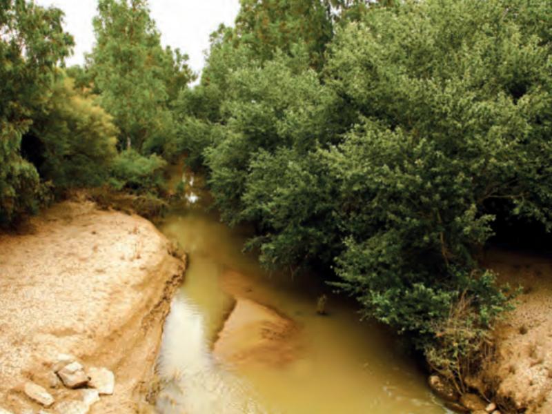
The Corbones is the main watercourse that runs through the municipality of Carmona surrounded by crops. It receives inflows from several streams that rise in the Cornisa de los Alcores and other small elevations on both sides of its course. In the municipality of Carmona, the River Corbones runs more or less boxed in at first and then continues along an extended plain with a very gentle slope. Although the area around the Corbones is predominantly farmland, some sections remain with abundant riparian vegetation including eucalyptus, elm, willow, white poplar and ash, as well as bramble and tamarisks in non-forested areas.
Access: On the A-4 motorway from Carmona, take exit 500. A few meters ahead, towards Fuentes de Andalucía, take a path on the right that leads to the river. A second access route from Carmona is A-457 road towards Lora del Río. Just before crossing the river, on the left-hand side, is a path leading to the river.
There is a level of uncertainty over the exact place where the Corbones flows into the River Guadalquivir in the municipality of Alcolea del Río. This is due to changes in the course of the Guadalquivir as it passes through the town. The historical course of the Guadalquivir within the province of Seville, until the capital, has undergone numerous well-documented topographical changes due to shifting meanders. In the case of Alcolea del Río, the Corbones joins the Guadalquivir in a broad meander to the south of the district. Currently, the course of the Guadalquivir has been straightened. The old meander at the confluence with the River Corbones is now flooded with inflow from the Corbones. It can, therefore, be argued that the mouth of the Corbones is the place where the current and former courses of the Guadalquivir merge. This area on the banks of the Corbones (old course of the Guadalquivir), opposite the town of Alcolea del Río, has a gallery forest of high natural and scenic value. Three flour mills of Arab origin, known locally as La Aceña, sit opposite the mouth of the Corbones. These mills were active until the 20th century.
Access is free. Take the A-436 road inside the urban area of Alcolea del Río to Maestro Braulio Sánchez Nieves Street. From here, continue towards Cordoba Street until Manuel Navarro Street on the right. Continue until Betis Street, where the River Guadalquivir can be accessed. The mouth of the River Corbones is visible from here. It can also be accessed via the SE-4104 road that leads directly to Betis Street.


0 comments
New comment
The comments are moderated, so it takes a while to appear. If they contain offensive language they will not be published.