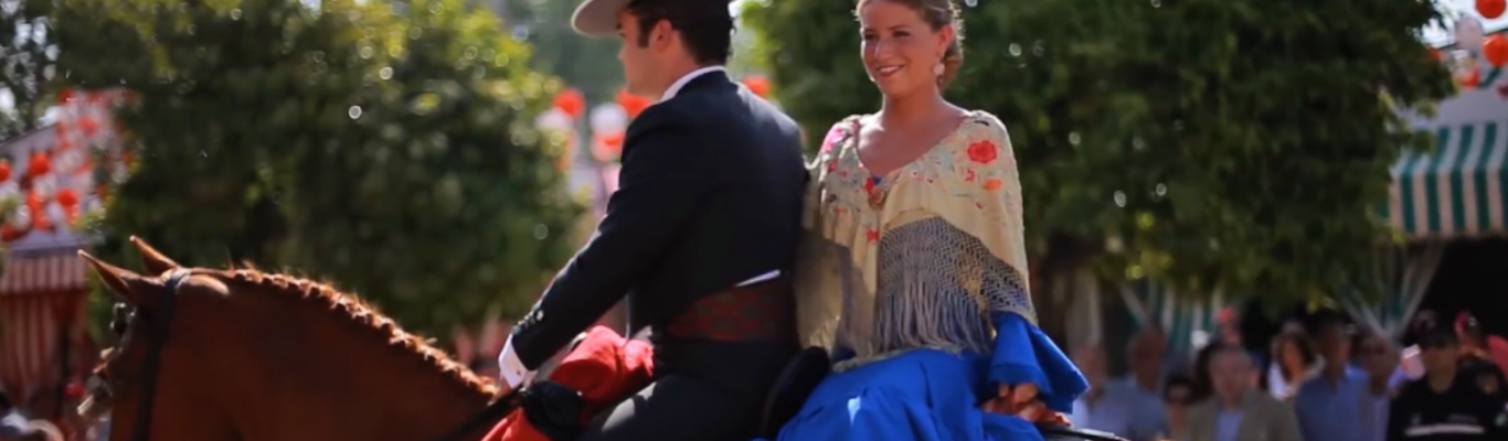
Seville, beautiful and diverse
Seville, beautiful and diverse
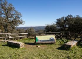
The Loma del Aire occupies a privileged location on the northeastern edge of the Sierra Norte Morena Park. It offers panoramic views of the typical Seville’s Sierra Morena landscape from the 740-metre summit: hills and mountains of medium-altitude with valleys and rivers in some areas. The Canario and Quiruela hills and the ravines along the Rivera de Onza Stream can be easily identified.
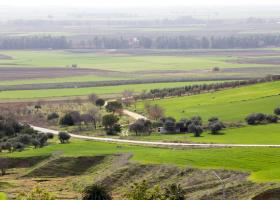
The Cornisa de los Alcores crosses the municipalities of Carmona, El Viso del Alcor, Mairena del Alcor and Alcalá de Guadaíra in a northeast-southwest direction. This sloped plateau stands out against the flat countryside of the Guadalquivir Depression in which it is located. It is a relatively low plateau of up to 242 metres with moderately steep slopes.

At 110 metres above sea level, Santa Brígida Hill, in the Jardín del Atalaya neighbourhood, is the highest point in the area. It was once the site of the Shrine to Saint Bridget.
A path winds its way up to a vantage point offering splendid views of Seville.
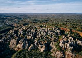
The Cerro del Hierro, one of the best known and most frequently visited areas of the Sierra Morena Natural Park, is an old open-cast mining site located between the municipalities of San Nicolás del Puerto and Constantina, the southern part of the park belonging to the latter.
The town of El Madroño is located on the foothills of the Sierra de Aracena, a mountain environment with medium-altitude hills and gentle slopes, through which small seasonal streams meander. There are rocky outcrops and crags of different sizes on top of the hills. A sudden change in temperature causes cracks and fissures in the rocks.