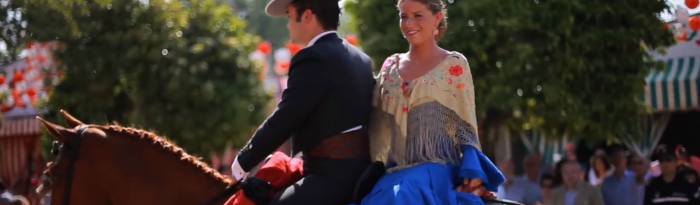
Seville, beautiful and diverse
Seville, beautiful and diverse
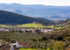
The Sierra del Agua is located in the north of the Sierra Norte Natural Park and, together with the Sierra del Viento, has the highest peaks in the Sierra Norte. The relief of the Sierra del Agua is also very rugged, with steep slopes of up to 70%.
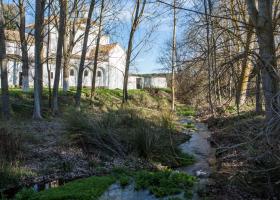
The Rivera de Guaditoca is a small stream that begins in Guadalcanal near the chapel of the same name and runs northward to flow into the Sotillo River, which marks the boundary with the province of Badajoz. It is 20 km long and it is seasonal, remaining dry during the summer.
The Rivera de Benalija is a small stream in the north of the Sierra Norte Natural Park, which runs along the southwest edge of the municipal district of Alanís. It empties into one of the tail ends of the Pintado Reservoir. This seasonal stream may dry up in the summers with little rainfall.
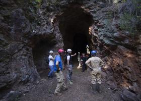
The importance of the iron mining sector in Andalusia during its heyday is made clear at this old mining site. It consists of an old mine, active until the mid-20th century, as well as lifts, shafts and galleries (some transitable).
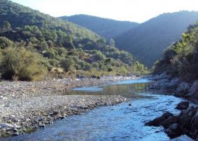
The River Viar is one of the tributaries of the right bank of the Guadalquivir, which it joins between Cantillana and Villaverde del Río. Its source is in the Extremadura municipality of Monesterio, and it is 124 km in length.
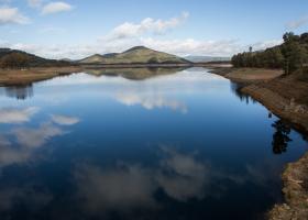
The Pintado reservoir is located on the Viar river, between the provinces of Badajoz and Seville, in a mountain area of gentle relief and moderate altitude, typical of the Sierra Norte of Seville. It is the largest reservoir in the Natural Park, and it is also fed by the River Rivera de Benalija.
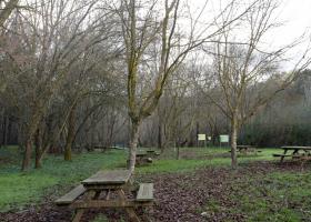
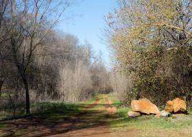
The Molino del Corcho Recreational Area is located a little less than a kilometre and a half from the Cazalla-Constantina train station, next to the Castillejo rest area. It is a unique natural site where the visitor can be in close contact with nature.